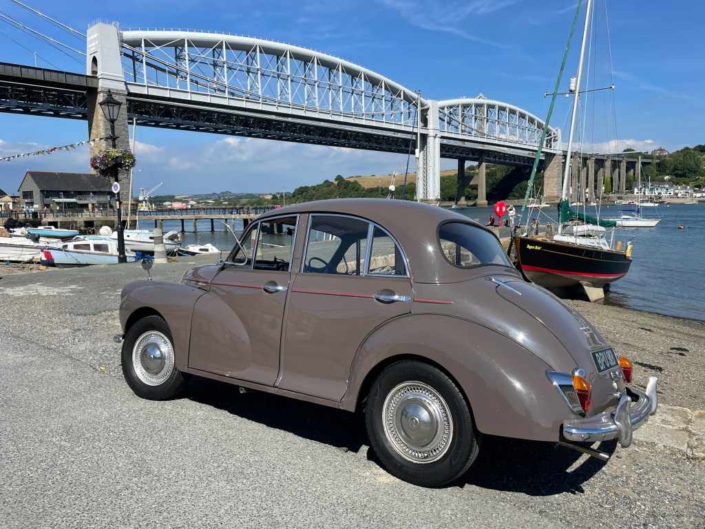
Following on from my last post, still on the second day of the Land’s End mission, I crossed the Tamar suspension bridge, and in doing so, the border into Cornwall.
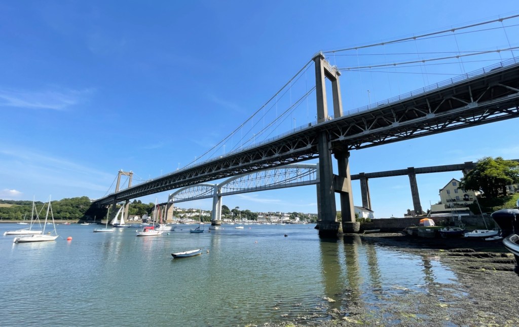
I crossed into Cornwall just after 3pm and immediately went down to Saltash, as I had wanted to see Isambard Kingdom Brunel’s Royal Albert Bridge up close. It is definitely the more impressive of the two crossings, and despite being opened in 1859, it could easily pass for a much more modern and almost futuristic design even today.
It is a credit to Brunel that even 163 years after his death so much of his Great Western Railway still survives, virtually unaltered in large sections.
The road bridge opened in 1962, replacing the Saltash Ferry which had first operated around the time of the Norman conquest (~1066). It is one of the oldest large suspension bridges in the UK, beating the Forth Road Bridge (opened 1964), the Severn Bridge (1966), and the Humber Bridge (1981).
Other than the earlier meandering through Devon, and my quick visit to Saltash, Day two of the trip was mostly driving, with me arriving in St Austell in the late afternoon.
Day three bought gloomier skies with it, and the morning started off with a heavy mist and lots of rain. I had wondered whether it was even worth heading to Land’s End, as it was still another 57 miles, but I pushed-on, as it didn’t look likely that the weather would improve much in the coming days. It cleared up slightly as I neared Penzance, but after this the skies remained grey for pretty much the rest of my time in Cornwall.

As much of an achievement as it may have felt to get a 58+ year old car hundreds of miles across the country to the very end of the land, Land’s End is in my opinion a fairly crappy tourist trap, with attractions and shops that are hardly relevant to the location’s significance. It costs £7.50 to park, and you’re not allowed to take your own photos at the sign, you instead have to enlist the on-site photographer.
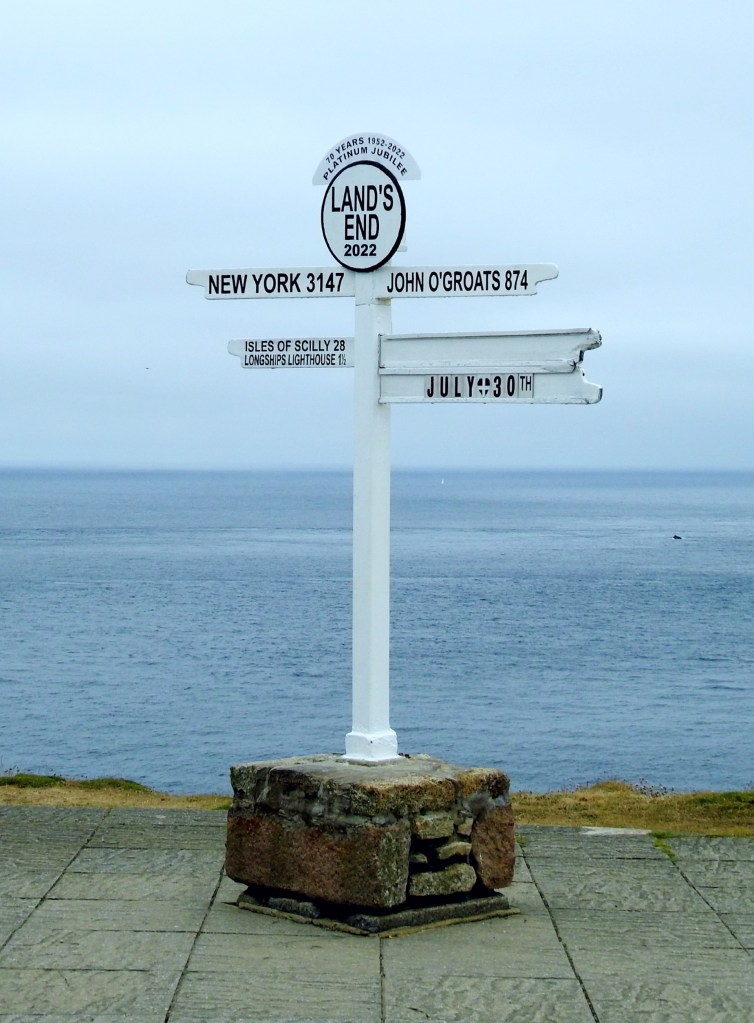
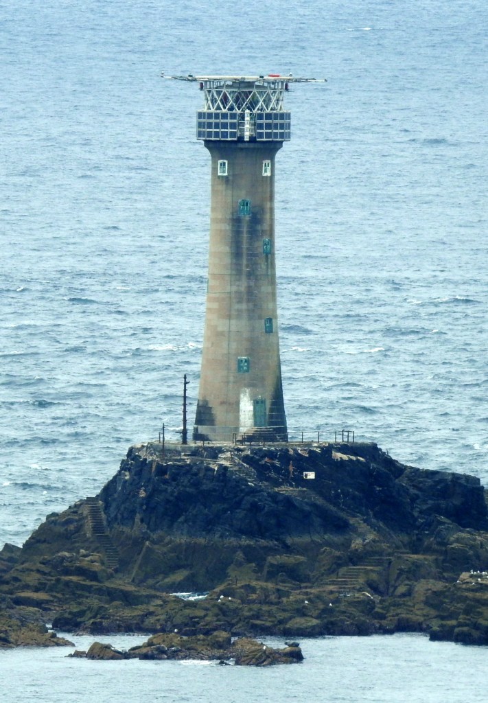
The scenery at land’s end is great, and if I had time I would’ve walked around more, and taken more photos, and perhaps visited nearby Cape Cornwall or Pendeen watch, but I wanted to make it to Lizard so I could tick-off another of England’s cardinal points, and it was already gone 1pm. Onwards.
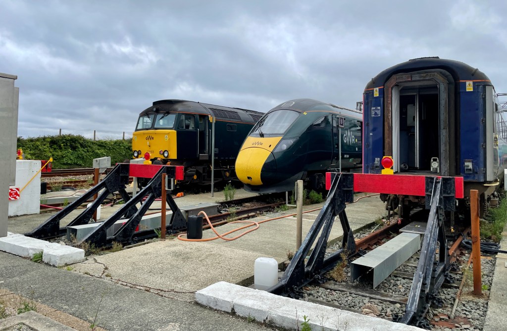
Continuing on, I briefly stopped at Longrock, near the train maintenance depot to get a view of Saint Michael’s Mount before continuing to Lizard.


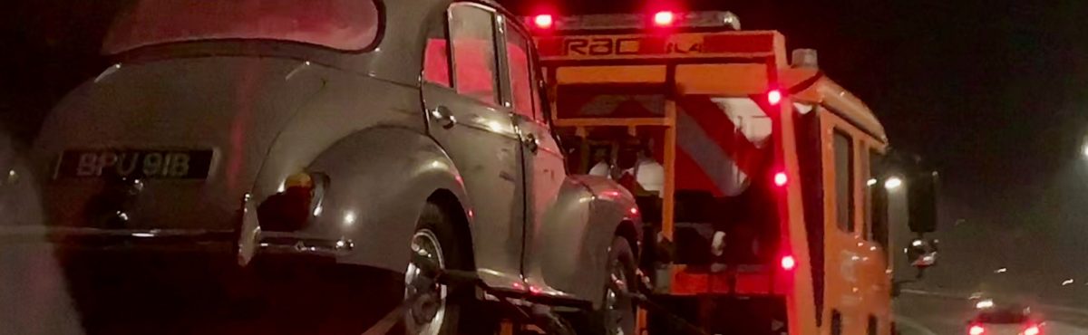
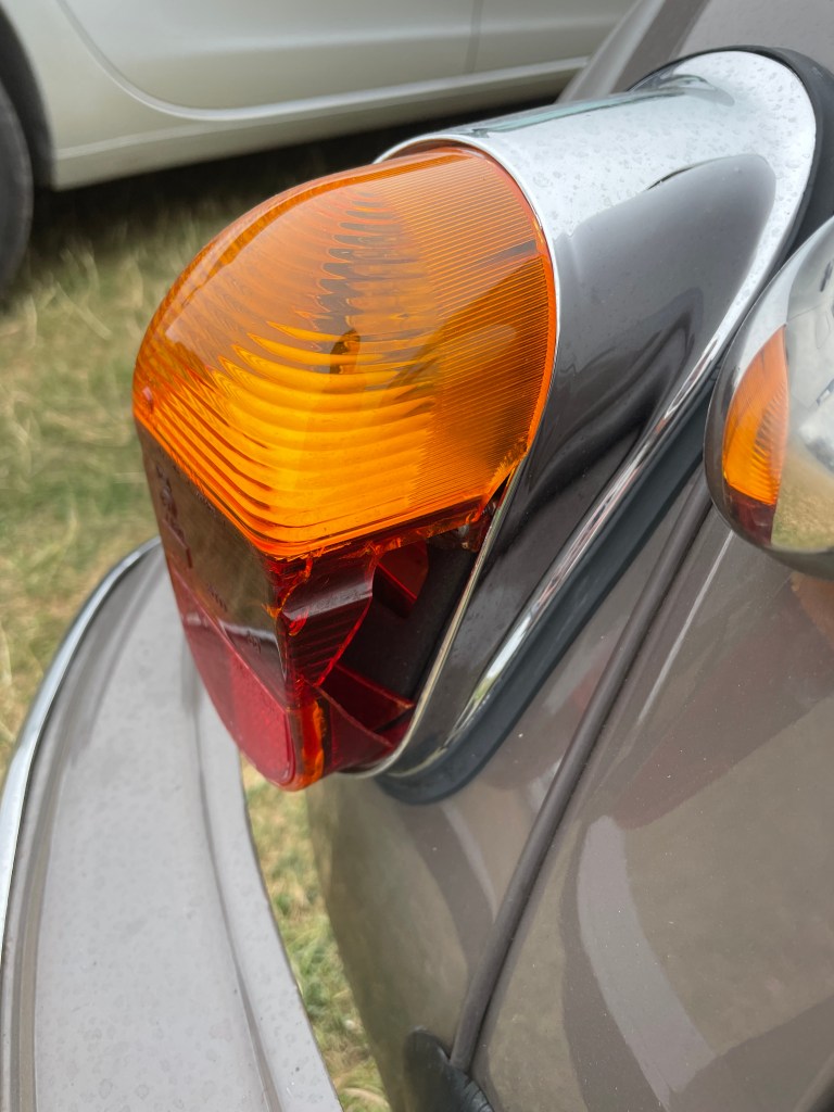
I arrived at Lizard point just after 3pm. When I parked up I noticed that somewhere on the trip one of the rear light lenes had shattered. There wasn’t much I could do about this until I was back home, so I ordered a replacement and went for a walk.

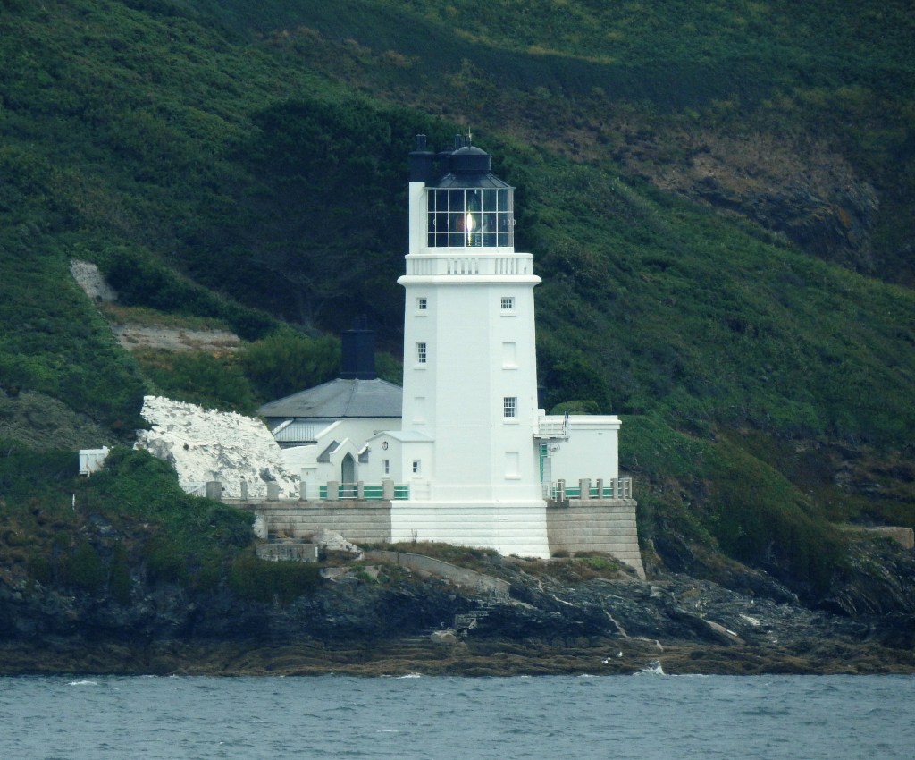
After this, my final destination for the day was Pendennis Point, from where I would be able to view St. Anthony Lighthouse, which is one of the few in the UK that until now I hadn’t managed to photograph clearly. The week of my visit had seen the lighthouse undergo conversion from a halogen lamp to a LED light source.
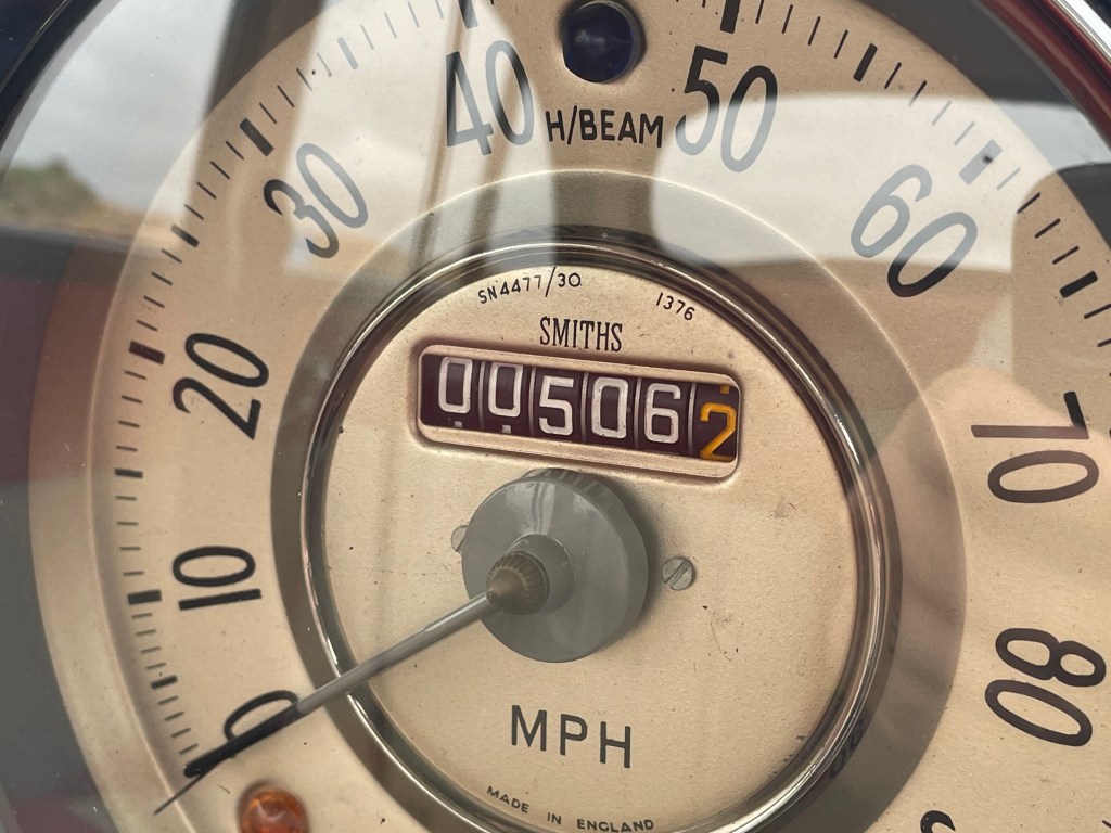
By the time I had arrived at Pendennis Point, gradually heading back to the hotel in St Austell, I had done over 420 miles since setting off a few days ago.
Day three, although slightly rushed, and despite the damage to the rear light, was a success, and I managed to see everything I had wanted to.
